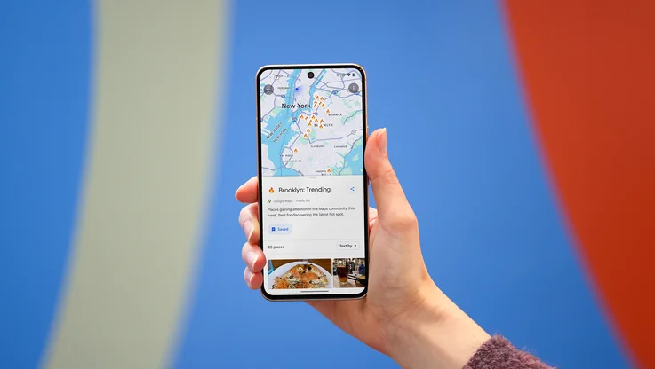
Google Maps heads north...way north
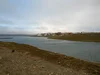
Search for [cambridge bay] on Google Maps and you’ll fly to a tiny hamlet located deep in the Kitikmeot Region of Nunavut in Canada’s Arctic, surrounded by an intricate lacework of tundra, waterways and breaking ice. High above the Arctic circle, it’s a place reachable only by plane or boat. Zoom in on the map, and this isolated village of 1,500 people appears as only a handful of streets, with names like Omingmak (“musk ox”) Street and Tigiganiak (“fox”) Road.
There are 4,000 years’ worth of stories waiting to be told on this map. Today, we’re setting out on an ambitious mission to tell some of those stories and to build the most comprehensive map of the region to date. It is the furthest north the Google Maps Street View team has traveled in Canada, and our first visit to Nunavut. Using the tools of 21st century cartography, we’re empowering a community and putting Cambridge Bay on the proverbial map of tomorrow.
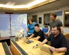
We’re not doing it alone, but with the help of the community and residents like Chris Kalluk. We first met Chris, who works for the nonprofit Nunavut Tunngavik, last September at our Google Earth Outreach workshop in Vancouver, where he learned how to edit Google Maps data using Google Map Maker. Today Chris played host to a community Map Up event in Cambridge Bay, where village elders, local mapping experts and teenagers from the nearby high school gathered around a dozen Chromebooks and used Map Maker to add new roads, rivers and lakes to the Google Map of Cambridge Bay and Canada's North. But they didn’t stop there. Using both English and Inuktitut, one of Nunavut’s official languages, they added the hospital, daycare, a nine-hole golf course, a territorial park and, finally, the remnants of an ancient Dorset stone longhouse which pre-dates Inuit culture.
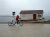
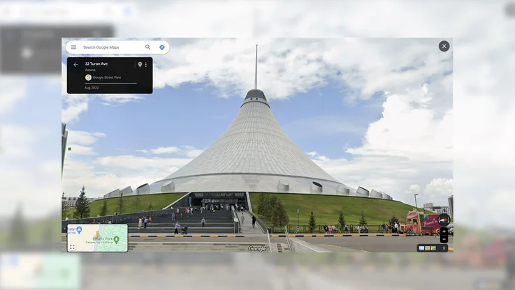
Now we’re pedaling the Street View trike around the gravel roads of the hamlet and using a tripod—the same used to capture business interiors—to collect imagery of these amazing places. We’ll train Chris and others in the community to use some of this equipment so they can travel to other communities in Nunavut and continue to build the most comprehensive and accurate map of Canada’s Arctic. As Chris put it to us, “This is a place with a vast amount of local knowledge and a rich history. By putting these tools in the hands of our people, we will tell Nunavut’s story to the world.”
So stay tuned, world. We look forward to sharing with you the spectacular beauty and rich culture of Canada’s Arctic—one of the most isolated places on the planet that will soon be, thanks to the people of Cambridge Bay, just a click away.